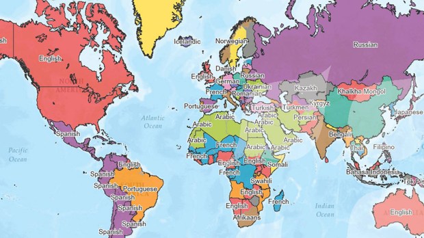
It’s a lot easier to find your way around when you have a map, but it’s easy to get lost in the maps being provided on a new website.
GoodLands, whose mission is to help the Catholic Church use its land better for the benefit of people and the environment, is providing a number of free maps related to various aspects of the worldwide Catholic Church at its Catholic GeoHub site. If you have a desktop computer, a strong internet connection and maybe a lot of time on your hands, you can explore maps showing the boundaries of Catholic dioceses and parishes, the numbers of Catholics in each, the ratio of priests to parishioners, or stats on Catholic healthcare in various parts of the world.
Molly Burhans founded GoodLands, a nonprofit organization that uses maps to help religious communities around the world understand and map their parish boundaries, provinces, programs, and landholdings. The purpose is to help them better manage their missions, environmental and social impact, and improve the financial stewardship of their assets, for the benefit of people and the environment. Now, at Catholic GeoHub, there are maps showing diocesan land use/land cover; species richness in each ecclesial jurisdiction, and the Church’s “carbon footprint.”
Burhans secured the donation of geographic information system software, or GIS, from Esri, a digital mapping company. She obtained raw data from the Vatican and the the website catholic-hierachy.org to populate the maps. The combination will help users understand property holdings, land use possibilities, preservation potential, population density and services available or needed.
“One of our key maps shows the priest shortage around the world,” she told Catholic News Service. That was a major issue at the recent Synod of Bishops for the Amazon. CNS reported:
Burhans said when she first finished the map, she thought, “This is so sad. There are priests serving over 10,000 Catholics in the global South,” while people in the United States, which has an average of 1,875 Catholics for every priest, complain of a priest shortage.
In most geographic regions, Catholic GeoHub seems to focus on the Latin Catholic Church, the largest and best known of the 24 sui iuris Churches that make up the Catholic Church. It does have data on some Eastern Catholic Churches; for example, in Iraq, it gives statistics for the Chaldean Church based in Baghdad. But in Ukraine, it seems to completely overlook the Ukrainian Greek-Catholic eparchies, while providing data only for the much smaller Latin Catholic dioceses.
But, according to CNS, the release of the maps and data could give Catholics “a common ground” for understanding some of the realities the Church faces, Burhans said. She hopes it helps contribute to “how Catholics see each other and how we understand the global Church.”
In September, during the United Nations General Assembly meeting and the Climate Action Summit in New York, Burhans was awarded the Young Champions of the Earth Prize for pioneering digital mapping and bringing big data for restoration to the world’s largest landowners.

